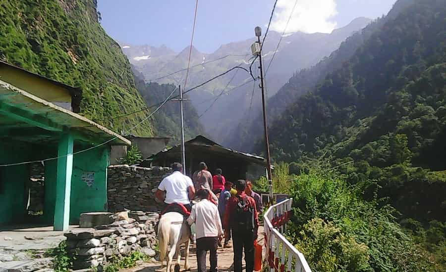
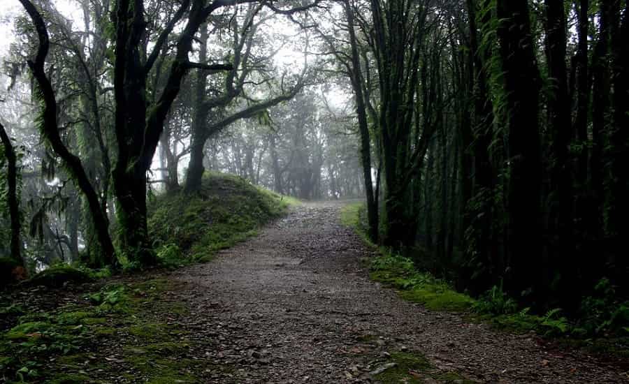
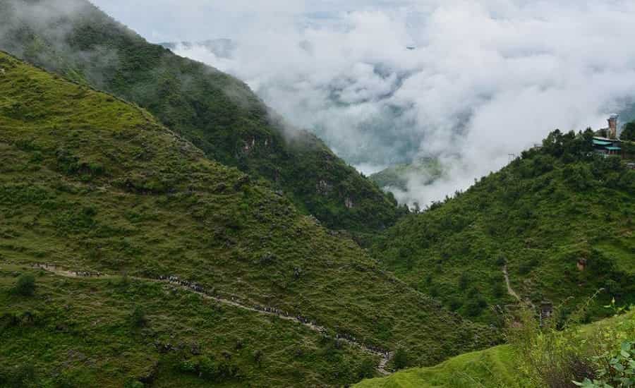
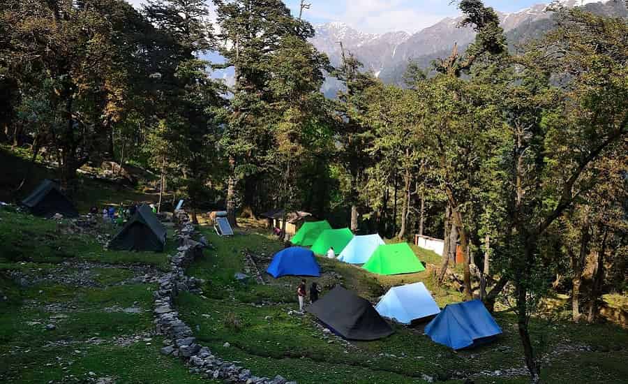
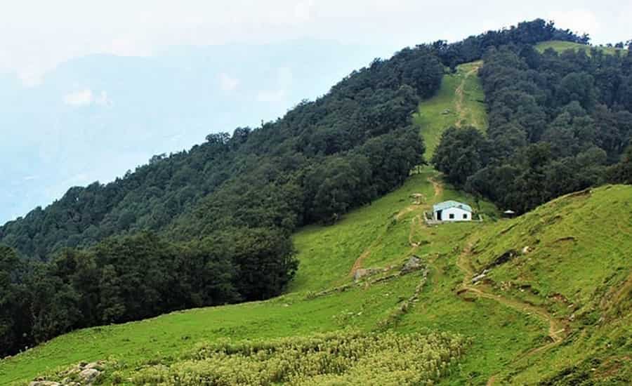
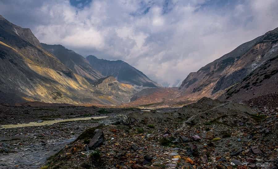
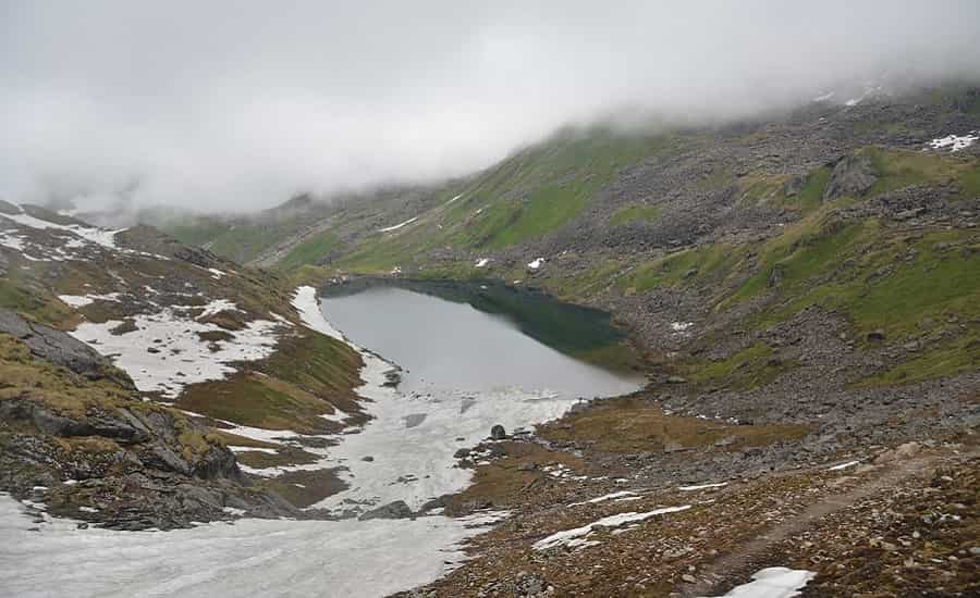
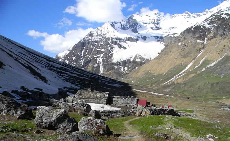
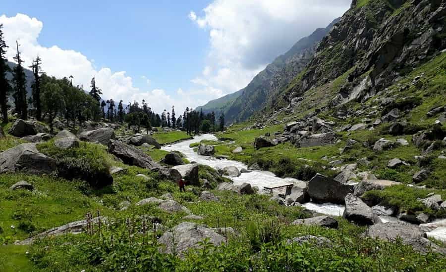
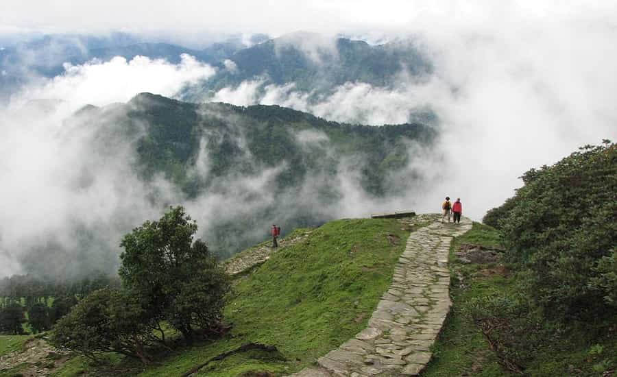
Uttarakhand, gifted with an abundance of scenic beauty pulls tourists from every part of the nation and the globe. Nature wears her most beauteous garb amid the lofty, towering peaks of the majestic Himalayas. Alpine woods and meadows decked with thickets of colorful Rhododendrons conjure up a scene of unparalleled natural beauty. Nature lovers and passionate holiday makers find the joy of their life on this paradisiacal land. For adventure seekers too Uttarakhand is one of the most veritable adventure hubs. The terrain of Uttarakhand is just right to let you indulge in adventure activities to your fill.
If you are passionate about trekking, Uttarakhand could be a real paradise for you. Trekking the rugged Himalayan terrain could be taxing for the body but the panoramic views of pristine nature along your trekking trails will enliven your mind with surging energy and enthusiasm. Thus plan a travel to Uttarakhand soon and explore some of the best trekking destinations that the land has.
Yamunotri Trek
One of the holiest pilgrimages in Uttarakhand, the trek to the origin of the holy river Yamuna, called Yamunotri, is taken by the devout Hindus as well as the adventure seeking travellers.

About Yamunotri
Yamunotri is the origin of one of the two holiest rivers of the country, the holy River Yamuna, the other being the holy Ganges. The temple situated atop Bandarpunch, near the river’s source, is dedicated to the goddess Yamuna.
Many mythological stories are connected with the river; one says that Yamuna is the twin sister of Yama, the god of death. Bathing in the river’s water saves one from having a troubled death.
Yamunotri also finds mention in old Hindu scriptures, where it is mentioned to be the home of the sage Asit Muni.
The Trek
The trek to Yamunotri commences from Hanuman Chatti, which is at a distance of about 13 kilometres from the holy place.
The other famous route for trekkers is from Dodital to Yamunotri. The trek to Dodital starts from Kalyani. The trekking route is as follows:
- Kalyani-Dodital (22 Km)
- Dodital- Seema (16 Km)
- Seema- Hanuman Chatti (14 Km)
- Hanumanchatti-Yamunotri (14 Km)
Best Season: May-June and September- October
Time: Depending on the trekking route you choose, it can take 3-4 days to cover the first route, while around 7-8 days for the second route.
Rishikesh Pauri Binsar Trek
The Rishikesh Pauri Binsar trek is a fairly easy trek with gradual ascents and descents. The trek covers beautiful mountainous tracks lined with wild flowers, alpine trees and coniferous forests.

The Trek
The trek to Binsar starts from Thalisain, which is at a distance of around 104 kilometres from Pauri. From Thalisain one treks to Piersain, which is at a distance of 13 Km, covering a beautiful range of flora including forests of silver oaks, fern and pine. From Piersain, the trail goes to Binsar; covering a distance of 7 km. Binsar has some of the most exquisite flora like the hanging moss, ferns, wild flowers, silver fir, pine, oaks as well as deodars.
The total distance covered is 20 kilometres, which is a moderate trek, offering some of the most beautiful views of the mountains.
- Best Season: Winter season is considered to be the best season to visit Binsar.
- Time: It takes around 3-4 days to trek from Thalisain to Binsar (including the stay at Thalisain, Piersain and Binsar.
- Distance covered: The one-sided distance covered from Thalisain to Binsar is about 20 kilometres.
Kempty Falls Trek
This fairly easy trek from Mussoorie to Kempty falls can be taken all through the year (except monsoon) and is quite popular amongst trekkers who prefer less difficulty.

Kempty Falls
A favourite place for outing and holding tea parties by the English during the Raj, the place was commonly called as ‘Camp tea’. The biggest falls in the area, the Kempty falls is a favourite tourist place now and receives travel enthusiasts in plenty.
The Trek
The most common place treated as the base camp from the trek is George Everest house, around 6 Km from Mussoorie. The Kempty falls are around 8 kms from here but the trek is, most of the time, merged with treks to Jwala Devi temple (8 Km-one sided) and Bhadraj Temple (12 Km-one sided).
- Best Season: The trek is undertaken all through the year, leaving the monsoon months of July, August and September.
- Time: It takes around 4 days to complete all the treks. If you choose just to trek to Kempty falls alone, then one day is enough and you can drive back to Mussoorie or Dehradun. Taxis as well buses are available from the falls.
Dodital Trek
A high altitude trek to the beautiful lake of Dodital, the trek is moderate and can be taken by anyone having good health.

The Trek
The trek commences from a village known as Kalyani. Covering grasslands and thick forests of oak, pine and fir, the trail takes the trekker to an unforgettable journey of the Himalayas. One look at the awe inspiring beauty of the waters and the 22 km long trail (one side) seems worth all the efforts. The trek is best enjoyed during the summers as winters are really harsh and it is not advisable to undertake the trek then.
- Best Season: June to October
- Distance Covered (one sided): 22 Kms from Kalyani-Dodital
- Time Taken: Around 2-3 days which includes trek from Kalyani to Dodital, staying a day and returning to Kalyani. 2-3 days can be added for travelling to and from Kalyani from the preferred destination.
Rishikesh Gopeshwar Trek
The 11 day long trek from Rishikesh to Gopeshwar, Chamoli district, Uttarakhand, India is a rather difficult trek and involves high altitude trekking. The areas covered in the trek include Pipalkoti, Kalpeshwar, Bansi Narain, Godiyala, Rudranath and Sagar.

About Gopeshwar
Gopeshwar is a beautiful town in the Chamoli district of Uttarakhand, India, famous for its picturesque beauty and temples including the four famous ones: Tungnath, Ansuya Devi, Rudranath and Badrinath, which surround the town.
The Trek
The trek to Gopeshwar starts from Helang, situated at a distance of 240 kilometres from Rishikesh. From Helang, the trek proceeds to Kalpeshwar (12 Km)-Bansi Narayan (15 Km) – Godiyala (10Km)-Manpai Bugyal (8Km)-Dumukh (12KM)-Toli (9 Km) – Rudranath (10 Km)-Panar Gufa (14 Km)-Gopeshwar (14 Km).
- Best Time: Throughout the year although the winter months are very cold.
- Time: the trek takes around 11-12 days to complete.
Kuari Tapovan Trek
The trek is a moderate grade trek and is one of the best ways to get as close as one can, to the giant peaks of Nanda Devi, Trishul, and Kedarnath etc. Trekking through the beautiful trails through remote villages, forests, meadows and rocky trails, the trek is one of its kinds in the Himalayas.

About Kuari Pass
The Kuari Pass, located in Uttarakhand, India, is one of the most popular places amongst trekker from the country as well as abroad. The pass is the closest encounter with the lofty Himalayas adorned with beautiful peaks of Kedarnath, Chaukhamba, Nanda Devi, Nilkantha, Kamet, Gauri Parbat, Hathi Parbat and Dunagiri. All these peaks range from over 6000-7000 metres above sea level. The snow-covered giants and the dotted villages situated in the distant plains present a site unlike any other.
The Trek
The trek to Kuari pass, through Tapovan, was first taken by Lord Curzon in 1905 and the trail is thus popularly called as the Curzon trail. The journey starts from Ghat, in the beautiful and narrow Nandakini valley. The trail leads to Ramni, a large village in the meadows, then to Sem Kharak, Pana, Tali and finally to Kuari Pass.
Another popular trail includes the famous hill stations of Auli and Joshimath, the route is as follows: Joshimath-Auli-Gorson-Tali-Kuari pass-Tapovan-Joshimath.
The trek, although long, covers some of the most magnificent of the natural beauties, like rivers, waterfalls, high altitude meadows, mountain villages and forests etc.
- Best Season: March-June and September-November
- Time Taken: It takes around 9-10 days to complete the trek.
Gangotri Tapovan Trek
Gangotri is the place from where the most sacred river of the country, The Ganges, originates. The place of origin is Gaumukh (cow’s face), the snout of the Gangotri glacier, that is highly visited by enthusiastic pilgrims, through a 19 kilometres long trek from the main temple, dedicated to Goddess Ganga. The temple is situated on the banks of River Bhagirathi, Ganga’s name before it reaches Devprayag, where it joins River Alaknanda, and comes to be called as Ganga.

The Gangotri Tapovan trek is a rewarding one, catering both to religious people, as well as the adventure seeking ones. The Gangotri Tapovan trek includes going to Gaumukh, the glacier where Ganga originates, Nandan Van and Tapovan, which offer some of the most majestic sights of the Himalayas.
Gangotri
Gangotri town situated in the Uttarkashi district of Uttarakhand state. It is famous for being the place of origin of the sacred river Ganga. The temple situated on the bank of river Bhagirathi (Ganga) is of prime importance in this place. It is dedicated to goddess Ganga, who is worshipped as the divine mother, nourishing a whole country through her water.
Gaumukh
Gaumukh is the snout of the Gangotri glacier and the originating place of the River Ganga, situated at a distance of 19 kilometres from the temple at Gangotri. The glacier gets its name, Gaumukh or cow’s face as it resembles the animal’s face. The glacier, being not easily accessible, is visited only by people who are healthy and sturdy enough to take the climb.
Many trekkers as well as pilgrims do take this challenging trek, and traverse through the beautiful glacier.
Nandanvan and Tapovan
Situated at a distance of 6 kilometres to the left of the Gangotri glacier, Nandanvan is the base camp for the tougher climbs to the Bhagirathi peaks. It offers a breathtaking sight of the Shivlinga peak.
Tapovan is situated on the right of the Gangotri glacier and is famous for its beautiful meadows surrounding the Shivaling peak.
Getting There:
- Nearest Airport: Jolly Grant (270 Kms)
- Nearest Railway station: Rishikesh (244 Kms)
Gangotri Kedarnath Trek
Gangotri and Kedarnath, both are two very famous religious places of the country and the trek from one to another is nothing less than incredible. The trek is moderate to difficult and is along one.

About Gangotri and Kedarnath
Gangotri: Gangotri, situated in the Uttarkashi district of Uttarakhand, India is the place where the source of Holy River Ganga is located. The river originating from Gaumukh in the Gangotri glacier is called Bhagirathi and upon meeting Alaknanda at Devprayag becomes the holy Ganges.
Kedarnath: Kedarnath is one of the most revered temples of lord Shiva, situated in the Rudraprayag district, Uttarakhand, India. The ancient temple of Kedarnath is accessed with difficulty and is one of the remotest to reach amongst the four holiest pilgrimage sites of the state: Gangotri, Yamunotri, Badrinath and Kedarnath.
The Trek
The trek to Kedarnath starts at Gangotri or more specifically from Mala, after crossing the River Bhagirathi. From Mala the trek starts to Saurikigad which is at a distance of 5 km. From Saurikigad the trek goes uphill to Belak, covering a distance of 10 Kilometres. From Belak it’s a 14 kilometre long trek to Budha Kedar, which has a famous temple dedicated to lord Shiva. The trek covers a beautiful trail through the dense alpine forests, and then comes the village of Panwali after a 26 kilometre long uphill trek covering terraced fields. Sonprayag is the next destination at a distance of 14 kilometres. Finally Kedarnath is reached by an uphill trek of 19 kilometres.
- The route is as follows: Mala- Saurikigad-Belak-Budhakedar-Panwali-Sonprayag-Kedarnath.
- Best Season: April to June and September to October
- Time: The trek from Gangotri to Kedarnath takes around 7-8 days to complete.
Valley of Flowers
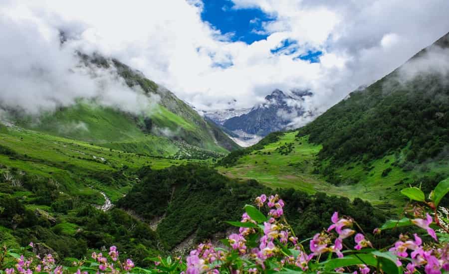
Valley of flowers, a world heritage site and a national park, is an immensely beautiful Himalayan valley that gets carpeted with flowers as the spring enters. The Valley of flowers is a unique place, as it forms the transition between the Zaskar and Great Himalayas. The flora as well as fauna at Valley of flowers is unique and rare. It is home to some of the rare and endangered species of animals like Asiatic Black Bear, Snow Leopard, Brown bear, Musk deer and Blue Sheep. Celebrated flowers like Brahma Kamal, Blue poppy and the cobra lily are also found here.

Discovery
The discovery of Valley of flowers is credited to Frank. S. Smythe, a British mountaineer and botanist who lost his way and accidently arrived here. Later, he let the world see his discovery, with the publishing of his book titled, ‘The Valley of flowers’. Ever since then, the place did not lose its attraction, as people of all ages are attracted to the enchanting Valley of flowers. The locals, on the other hand, always knew about the Valley’s existence but did not dare to set foot in it because they believed that fairies live here.
Valley of Flowers Trek
Valley of flowers is reachable only through a 17 kilometers long trek, which is taken from Govindghat, a settle 17 kilometres from the valley. To reach Govindghat, one can hire a taxi from Joshimath, the nearest important town in this area.
The valley is situated near the gorge of river Pushpawati that adds beauty to the place. The river also divides the valley into two parts.
One can trek from Govindghat to Ghangaria, a small settlement just 3 kilometres away from the Valley. Ghangaria has accommodation facilities, so one can rest here and then take on the 3-kilometer-long trek to see the Valley of flowers.
How to Reach to Valley of Flowers
- Air: The nearest Airport is Jolly Grant at a distance of 295 kilometres.
- Rail: Rishikesh is nearest Railway Station a distance of 276 kilometres.
Sunderdhunga Glacier Trek
Sunderdhunga glacier, situated in the Bageshwar district, is one of the most sought after place for trekkers. The Sunderdhunga glacier is a beautiful glacier situated in the Sunderdhunga valley. Along with other glaciers like Maiktoli Glacier and Sukhram Glacier, the trek to Sunderdhunga makes for a wonderful trek. The trek takes around a couple of weeks (14 days) and is of moderate difficulty.

Sunderdhunga Trek
The trek commences from Saung, a small village, situated 36 kilometres from Bageshwar, which is well connected by road with the important cities. The total distance covered by the trek is around 57 kilometres (one way). The trekking route is as follows:
- Saung – Loharkhet (5 Kms)
- Loharkhet – Dhakuri (11 Kms)
- Dhakuri – Kathi (11 kms)
- Kathi – Jatoli (8 Kms)
- Jatoli – Khatulia (12 Kms)
- Khatulia – Sunderdhunga (10 Kms)
The trek passes through some of the most picturesque places in the Himalayas, beautifully enveloped with rhododendron flowers and pine forests. The Sukhram caves are enroute to Sunderdhunga and form an interesting trek.
Best Time to Visit: Between May and October (except monsoon).
How to Reach Sunderdhunga Trek
- The base camp, Saung is easily reachable by road from Ranikhet (125 kms), which is 94 kilometres from the Kathgodam Railway station.
Distance from Sunderdhunga
- Air: The nearest airport is Pantnagar (206 kilometres)
- Rail: The nearest railway station is Kathgodam (219 kilometres)
Roopkund
Roopkund is a very famous and interesting tourist destination, located at the base of two Himalayan peaks, Trishul and Nanda Ghunti. Roopkund is a lake, located at an altitude of 5029 metres, which freezes by September. The location is uninhabited and offers a clear view of Trishul and Nanda Ghunti peak.

Roopkund Mystery
In 1942, a park ranger happened to come around the lake, which was melting, and discovered something that shook the whole world. What he found were hundreds of skeletons as well as preserved bodies in the lake. Years went by and the whole world grew intrigued as to who were these people? Were they pilgrims perished by the weather, epidemic, soldiers of any army who couldn’t defeat the cold weather or just Tibetan traders?
Lately, a team of Indian and International scientists set to uncover the mystery and came to the following conclusion. The radiocarbon dating determined the bones to be belonging to the 9th century. The people of the group did not die of a disease, but because of a hailstorm, which they couldn’t escape, being unsheltered. Who were they and where they were headed is anybody’s guess but what is definite is that nobody survived that fateful day.
The skeletons still show up as the water melts in the lake and thus it gets its other name, the Skeleton Lake.
Roopkund Trek
The trek to Roopkund has three routes and is a moderately difficult trek, covering approximately 49 kilometres (one way). The most popular route for the trek is as follows:
Route for Roopkund Trek
- Mundoli – Wan (10 kms)
- Wan – Bedni Bugyal (11 Kms)
- Bedni Bugyal – Baggubasa (10 Kms)
- Baggubasa – Roopkund (18 Kms)
The trek starts from Mundoli, which is easily accessible from Haridwar by road (244 Kms).
The trek takes anywhere from one week to a fortnight or even more if one wants to incorporate other treks with it as well.
How to Reach Roopkund Trek
- The easiest way to reach Mundoli is from Haridwar (244 kms) by road.
- Distance from Haridwar
- Air: The nearest Airport from Haridwar is Jolly Grant (35 kms)
- Rail: The nearest Railway Station is Haridwar.
Pindari Glacier
The Pindari Glacier is situated in Bageshwar district of Uttarakhand and is considered one of the most easily accessible glaciers in the Himalayas. The Pindari glacier is situated in the southeast of Nanda Devi peak in the Kumaon Himalayas. The round trip trek is about 90 kilometres long and takes approximately 5 days to complete. It is an enjoyable trek which is very popular among tourists.

Pindari Glacier Trek
Pindari Glacier is situated southeast of the famous Nanda Devi peak. The glacier flows to the south for about 3 kilometres, before giving rise to the Pindari River, one of the main tributaries of the River Alaknanda. The trek to Pindari Glacier is a rewarding one, going through the beautiful Himalayas, along with the Pindari River (which is visible from Khati). The trek goes through the villages of Saung, Loharkhet, over the Dhakuri pass, Khati village (the last inhabited village on the trail), Dwali, Phurkiya and finally Zero Point and the end of the trail, called the Pindar.
Pindari Glacier Trekking route is as follows:
- Base Camp: Saung
- Saung to Loharkhet 3 km trek,
- Loharkhet to Dhakuri 11 km,
- Dhakuri to Khati 8 km,
- Khati to Dwali 11 km,
- Dwali to Phurkiya 7 km,
- Phurkiya to Pindari Glacier 5 km.
The trek usually takes around 5 to 6 days covering around 90 kilometres of trek. Although a little tough, the trek is very popular among adventure and nature lovers.
Getting There
- Saung, the base camp for the Pindari Glacier trek, is easily accessible by road from Bageshwar (36 kilometres).
- Air: The nearest Airport is Pantnagar Airport (206 kilometres).
- Rail: The nearest Railway station is Kathgodam (180 kilometres).
Panch Kedar

A very good option for discovering the Garhwal Himalayas is to take the Panch Kedar Trek. A dream for Hindus, the Panch Kedar trek takes a pilgrim to all the five shrines dedicated to Lord Kedar (Shiva) in the Kedar Valley. All the five temples of the Panch Kedar are connected by a single legend which dates back to the Mahabharata. It is said that Shiva had transformed himself into a bull, in order to evade the Pandavas, who were seeking him for forgiveness. The Bull (Shiva) dived into the ground on being recognised. Later, five different parts of the bull appeared at five different places in the Himalayas. These later became the Panch Kedar. The five temples are as follows:
- Height of Kedarnath (3584 m)
- Height of Tungnath (3829 m)
- Height of Rudranath (2286 m)
- Height of Madhyamaheshwar (3289 m)
- Height of Kalpeshwar (2134 m)
The trek to Panch Kedar is a long one, the circuit covering around 170 kilometres and takes 15 to 20 days. The trek is moderately difficult and passes through some of the most beautiful places in the Himalayas.
The trek can start from two places, Gaurikund (near Kedarnath) or Urgam (near Kalpeshwar), the more popular trek is the former one, which visits Kedarnath at the beginning.
Best Time to visit: The best time for taking the Panch Kedar Trek is between May and October, as four of the five temples close during winters because of the heavy snowfall on the mountains. The trek should be avoided during the monsoon season.
Nag Tibba
Nag Tibba is situated at a distance of 57 kilometres from the Hill station of Mussoorie in the Garhwal Himalayas in the state of Uttarakhand. Nag Tibba gets its name from Nag Devta (Snake god), a deity who is supposed to be the protector of the villagers’ crops. Local people visit the temple regularly, offering prayers to the deity.
The Nag Tibba range gets its name from the temple and is one of the three principal ranges of the lesser Himalayas, the other two including Dhauladhar and Pir Panjal. This is one of the treks in Himalayas which can be taken all year round, as most of the other Himalayan treks close during winter.

Nag Tibba Trek
The 15 kilometre trek to Nag Tibba starts from Devalsari around 30 kilometres from Mussoorie, a famous hill station, located at a distance of 30 kilometres from Dehradun, the state capital. Being an easy trek, it is quite popular among tourists. It passes trough beautiful forests and meadows to reach Nag Tibba. One can further climb 3 kilometres to reach the Nag Tibba peak and experience an unobstructed view of the Himalayas.
Trekkers usually prefer to spend a night here at Nag Tibba before returning. This is probably because the whole trek in one day becomes very hectic, leaving little time to enjoy the destination.
As there is no accommodation available here, trekkers should carry their own camping materials with them. Water is scarce here as well, so it’s best to carry water.
Getting There:
- The best way is to take a direct jeep from Mussoorie to Devalsari.
- Mussoorie is easily reachable by a taxi or a bus from Dehradun.
- Local buses to Mussoorie start from Dehradun Railway station itself.
Distance from Dehradun
- Air: The nearest airport from Dehradun is jolly grant at a distance of around 24 kilometres.
- Rail: The nearest railway station is Dehradun.
Milam Glacier
Source of the Goriganga River, Milam Glacier is one of the major glaciers in the Kumaon Hills. Located in the Munsyari Tehsil of Pithoragarh district of Uttarakhand, the Milam Glacier lies at a distance of around 19 kilometres Northeast of Nanda Devi. The glacier originates from the Kohli and Trishul peaks and is situated on the south facing slopes of the Himalayan range.

Trek to Milam Glacier
The Milam Glacier trek is a strenuous one; taking anywhere from 12 to 20 days depending on the places one wants to cover. The trek starts from Munsyari village which is also a base camp for many other trekking routes in the Himalayas. The trek roughly includes the following path:
- Munsyari- Lilam
- Lilam- Bugdyar
- Bugdyar- Martoli
- Martoli-Milam Village
- Milam Village-Milam Glacier
The distance covered (one way) is approximately 58 kilometres.
Milam Glacier trek is considered by some to be the best in this part of the Himalaya, probably due to the fact that it covers the remotest of areas of the mountains and offers some of the most beautiful panoramic views of the Gori Ganga Valley. The mighty Mt. Kailash, overlooking the glacier, further adds to the magnificence of the place.
Getting There
The Milam Glacier trek starts at Munsyari which can be reached by road from Almora (224 kilometres). Almora is well connected to other important cities by road.
Distance from Almora
- Air: The nearest airport from Almora is Pantnagar airport at a distance of 128 kilometres.
- Rail: The closest railways station is Kathgodam (90 kilometres).
Kedarnath Vasuki Tal Trek
Kedarnath is one of the most sacred temples in India, receiving pilgrims in thousands. The famous temple, situated near the origin of Mandakini River, is dedicated to lord Shiva and is counted amongst the Char Dham of the Himalayas (also called Chota Chardham) and is also a Jyotirlinga. The trek to Kedarnath is fairly easy, starting from Gauri Kund (14 kms) which has some popular hot water springs. From Kedarnath, the trek is a gradual ascent to Vasuki Tal, and is usually covered in a single day.

Kedarnath Trek
The Kedarnath-Vasuki Tal Trek starts at Gauri Kund, the hot water sulphur springs, where pilgrims usually take a dip before embarking on their journey to Kedarnath.
A continuous ascent, the Kedarnath trekking route goes through some of the most enchanting forests and waterfalls, making the effort worth the rewards. The Chaukhamba peaks are visible here and are a treat to the eyes.
Covering a distance of 14 kilometres, one reaches the Kedarnath temple, one of the most popular temples in the country. There is availability of accommodation here, and trekkers spend a night here before they start the journey to Vasuki Tal.
Vasuki Tal Trek
The second phase of the Kedarnath Vasuki Tal trek is Vasuki Tal, a natural lake, at a distance of 8 kilometres from Kedarnath.
Getting There
Gaurikund, the place from where the trek commences, is easily accessible by road from Rudraprayag (75 lkilometres).
- The distances from Kedarnath are as follows:
- Air: The nearest airport from Jolly Grant (226 kilometres)
- Rail: The nearest Railway station is Rishikesh (221 kilometres)
Kafni Glacier
Kafni glacier is situated in the east of Pindar valley and below Nandakot peak in Bageshwar district. The glacier gives rise to the river Kafni, which is a tributary to the River Pinder, which in turn joins the famous River Alaknanda. The Kafni glacier trek takes you to some of the most tranquil places in the Himalayas, and what attracts most trekkers here, is the feeling of solitude this place gives. Very rich in wildlife, the trek is beautifully adorned by the rhododendron flowers, which are found in abundance here.
The important Himalayan summits that are visible from this trek are Nandakot (6860 m) and Nandabhnar (6236 m).

Kafni Glacier Trek
The Kafni glacier trek is common with the Pindari Glacier trek till Dwali, from where the tracks diverge. The base camp of the trek is at Saung, a small village, 36 kilometres from Bageshwar. The trek is of moderately difficult and takes around 8 to 9 days and covers approximately 90 kilometres (round trip).
The Trekking route is as follows:
- Base Camp: Saung
- Saung – Loharkhet (3 kms)
- Loharkhet – Dhakuri (11 kms)
- Dhakuri – Khati (8 kms)
- Khati – Dwali (11 kms)
- Dwali – Khafni Glacier (12 kms)
Best Time to Visit: May- June and September- November
Getting There:
The Kafni glacier trek commences from Saung, a small village, 36 kilometres from Bageshwar.
Distance:
- Air: Nearest airport is Pant Nagar, 206 km.
- Rail: Nearest railhead is Kathgodam, 180 km.
Har Ki Dun
Situated at the base of Fateh Parvat, Har ki dun is located in the western part of the Uttarkashi District. The Har ki dun trek is becoming popular among trekkers and bird watcher due to the beautiful areas it covers. The dense pine and chest wood forests, the fresh green grassland, the terraced mountains and the surrounding glimmering peaks, make it a haven for nature lovers. Har ki dun is also home to a wide variety of wildlife as well as bird species including the black partridge and jungle fowl.
The important peaks visible from here are Swargarohini, Bandarpunch and Kala Nag.

The trek commences from Taluka, a beautiful place located a little distance from the Har ki Dun River. Talika is at a distance of 35 kms from Mori, which is in turn 170 kms away from Dehradun the state capital of Uttarakhand.
The trek can take anywhere from 8 to 15 days depending on one’s choice and leisure. The trek is moderately difficult and covers a great variety of landscapes, from forests to grasslands to terraced mountains.
The route of the trek is as follows:
- Taluka – Osla (13 kms)
- Osla – Har ki dun (12 Kms)
- Har ki Dun – Debsu Bugyal (14 kms)
Best Time to Visit: May to November (in monsoon, the flowers bloom in the valley, making it exceptionally beautiful).
Getting There:
- Taluka, the starting point of the Har ki dun trek is easily accessible from Dehradun (205 kms).
- Closest Airport from Dehradun is Jolly Grant (24 kms)
- The closest railway station is Dehradun.

Chopta
Chopta is a small hamlet situated in the Garhwal Himalayas. Some of the most beautiful forests of Pine and Deodar circle the place and the trek through them is exhilarating. In spring time, the whole place is laden with red coloured Rhododendron flowers, creating a magical sight.
Chopta is also the base camp for further trek to Tungnath, the second Kedar site to be visited in the Panch Kedar circuit.
Deoria Tal, a lake in Chopta is one of the favourite sites for camping. The beauty of the lake, in the equally enchanting atmosphere, is a thing not to be missed while you’re here.
Access: Chopta is easily accessible by road from Guptkashi.
Tungnath
The Tungnath trek from Chopta covers around 4 kilometres of distance, which is fairly easy; considering its one of the highest temples in the world you’re visiting.
The Tungnath trek leads you to the second temple of the Panch Kedar ciruit. The arms of Lord Shiva, according to a legend, appeared in this place, and are the object of worship here.
The temple is a small one adjoining the mountains, brightly coloured and inviting. There are many shrines scattered around the main temple, dedicated to many other deities.
Chandrashila Peak Trek
The Chandrashila Trek is the last stop in the Chopta Tungnath Trek. Chandrashila is a mountain peak which offers a complete view of the hills. The majestic mountains at this breathtaking height are attractive enough for any nature lover.
Getting There
Chopta Tungnath trek starts at Chopta, which is connected by road and can be easily reached from Guptkashi.
Distance from Chopta
- Air: The nearest Airport is Jolly Grant at a distance of 254 kilometres.
- Rail: The nearest Railway station is Rishikesh, approximately 237 kilometres away.
